 Skipper
Prepare
•All boatersSea State Explained: Wave Height, Swell and the Douglas Scale
Learn how to read sea state forecasts, understand wave height and period, distinguish swell from wind waves, and assess conditions before sailing.
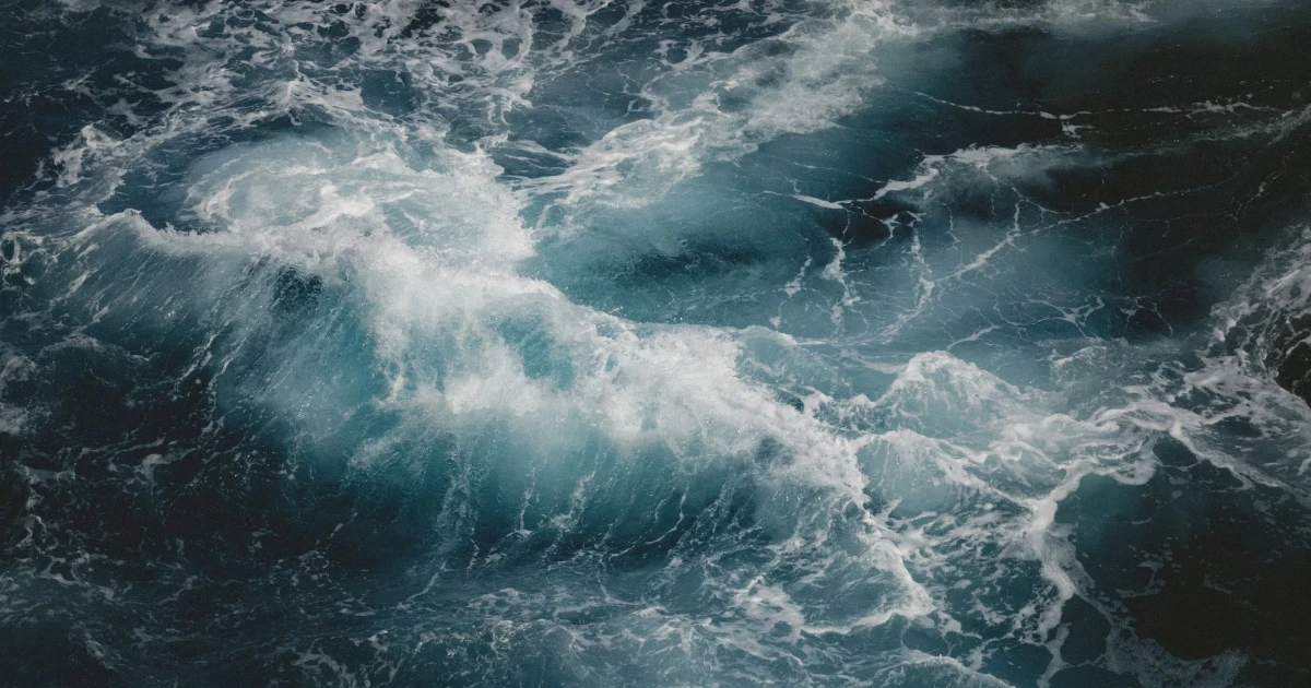
Sea State Explained: Wave Height, Swell and the Douglas Scale
Sea state describes the condition of the sea surface, especially the height and character of the waves. For sailors, understanding sea state is just as important as knowing the wind speed: it affects comfort, boat handling, passage time and the difficulty of manoeuvres.
A forecast might indicate a moderate breeze but a significant swell, or strong winds with relatively short, steep waves. These situations can feel very different on board.
To assess conditions properly, learn to interpret wave height, wave period, swell direction and the sea state scale together rather than relying on a single number.
What determines sea state?
Sea state is influenced by several interacting factors.
- Wind speed: Stronger winds generally transfer more energy to the water and generate larger waves.
- Wind duration: Wind blowing for longer gives waves more time to develop.
- Fetch: The distance over which the wind blows across open water. A longer fetch can allow larger waves to develop.
- Swell: Waves generated elsewhere can travel into your sailing area, even when local winds are light.
- Water depth and seabed shape: Waves can change as they enter shallower water, particularly near headlands, reefs and harbour entrances.
- Tides and currents: Waves meeting an opposing current can become steeper and more difficult to handle.
These factors explain why two locations experiencing similar wind speeds can have very different sea conditions.
For a related explanation of wind strength, see How to Read Wind Conditions for Sailing.
The Douglas Sea Scale
The Douglas Sea Scale is used to describe sea conditions by categorising wave height. It is distinct from the Beaufort scale, which primarily classifies wind force.
The following table gives the commonly used sea-state categories and their approximate wave-height ranges. Metric values are retained as the primary reference, with approximate imperial equivalents in feet.
| Douglas sea state | Description | Wave height |
|---|---|---|
| 0 | Calm (glassy) | 0 m (0 ft) |
| 1 | Calm (rippled) | 0–0.1 m (0–0.3 ft) |
| 2 | Smooth (wavelets) | 0.1–0.5 m (0.3–1.6 ft) |
| 3 | Slight | 0.5–1.25 m (1.6–4.1 ft) |
| 4 | Moderate | 1.25–2.5 m (4.1–8.2 ft) |
| 5 | Rough | 2.5–4 m (8.2–13.1 ft) |
| 6 | Very rough | 4–6 m (13.1–19.7 ft) |
| 7 | High | 6–9 m (19.7–29.5 ft) |
| 8 | Very high | 9–14 m (29.5–45.9 ft) |
| 9 | Phenomenal | More than 14 m (more than 45.9 ft) |
These are standard descriptive categories, not precise predictions of the height of every wave. Imperial ranges are rounded conversions, so published tables may show slightly different boundaries.
For a recreational sailor, the most useful distinction is often between slight, moderate, rough and very rough seas. However, a category alone cannot determine whether a passage is safe for a particular boat and crew.
What do the categories mean in practice?
Calm to smooth (0–0.5 m / 0–1.6 ft)
The sea surface ranges from almost flat to small wavelets. These conditions are often comfortable for sailing, although current, visibility, wind changes and local hazards still matter.
Slight (0.5–1.25 m / 1.6–4.1 ft)
Waves are noticeable but may remain manageable for many cruising boats. Comfort depends on their direction, spacing and how the boat meets them.
Moderate (1.25–2.5 m / 4.1–8.2 ft)
Motion can become more pronounced, particularly when waves are short or meet the boat on the beam. Crew comfort, securing equipment and the difficulty of manoeuvres deserve more attention.
Rough (2.5–4 m / 8.2–13.1 ft)
Wave action can significantly affect speed, steering and crew movement. The suitability of a passage depends heavily on the vessel, the crew’s experience, the wave period and direction, and the availability of shelter.
Very rough and above (4 m / 13.1 ft or more)
Conditions can become increasingly demanding and hazardous. Do not interpret these categories as universal limits for every vessel: assess the complete forecast, the boat’s capabilities, the crew’s competence and official warnings before deciding whether to proceed.
What is significant wave height?
Marine forecasts often report significant wave height, usually abbreviated as Hs. It is the average height of the highest one-third of waves measured over a period, from trough to crest.
This is a useful statistical description of the sea, but it does not mean that all waves will have that height.
For example, if a forecast gives a significant wave height of 2 m (6.6 ft):
- Some waves will be lower than 2 m (6.6 ft).
- Many individual waves will differ considerably in height.
- Some waves can be substantially higher than 2 m (6.6 ft).
The largest individual waves can approach twice the significant wave height in some conditions, but this is not a guaranteed maximum. The actual distribution depends on the sea and swell conditions.
Practical takeaway: never assume that a forecast of 2 m (6.6 ft) seas means you will encounter nothing higher than 2 m (6.6 ft).
Swell vs. wind waves
A sea surface can contain different wave systems at the same time. The two most important to understand are wind waves and swell.
Wind waves
Wind waves are generated by wind blowing over the water. They are strongly influenced by the local wind and the distance over which it has been blowing.
They are often shorter, more irregular and steeper than long-period swell, particularly when the wind is freshening or the fetch is limited.
For a yacht, short, steep wind waves can cause repeated pitching, slamming and uncomfortable motion.
Swell
Swell consists of waves that have travelled away from the area where they were generated. It can arrive from a distant weather system, even when local conditions appear calm.
Swell often has a longer wavelength and period than locally generated wind waves. It may produce a regular rolling motion, but long-period swell can still carry considerable energy and create challenging conditions near coastlines, reefs and harbour entrances.
When wind waves and swell meet
If wind waves and swell arrive from different directions, the sea can become confused, with waves crossing one another.
This can produce uncomfortable and unpredictable motion. It is one reason why a forecast showing only wind speed is insufficient for evaluating a passage.
| Condition | What you might experience |
|---|---|
| Light wind, little swell | Relatively smooth water, depending on local conditions |
| Strong wind, short waves | Choppy conditions, pitching and repeated impacts |
| Light wind, long-period swell | Rolling motion despite limited local wind |
| Wind against swell | Potentially steeper, more uncomfortable waves |
| Waves from several directions | Confused seas and less predictable motion |
The effect of wind against swell depends on the current, wave period, water depth and local geography. It should not be reduced to a simple rule that every opposing wind makes the sea dangerous.
What is wave period, and why does it matter?
Wave period is the time between successive wave crests passing a fixed point. It is measured in seconds.
For sailors, wave period helps describe the character of the sea alongside wave height.
- Short period: Waves arrive close together and can produce a steep, choppy sea.
- Long period: Waves are more widely spaced and may produce a slower rolling motion, although they can still be powerful.
Imagine two forecasts that both predict waves around 1.5 m (4.9 ft) high.
In the first, the waves have a period of 4–5 seconds. In the second, the waves have a period of 10–12 seconds. Although the forecast heights are similar, the two seas may feel very different under the same boat.
Wave period is not a standalone safety indicator. Boat design, wave direction, current and the interaction between different wave systems all influence how the sea behaves.
How to read a sea state forecast
When preparing for a sailing trip, read the marine forecast as a set of related variables rather than looking only at the headline wave height.
1. Check significant wave height
Start with the predicted wave height and its evolution during your planned passage.
Look for whether conditions are expected to increase, decrease or remain steady. A forecast range reflects uncertainty or variation; it does not mean every wave will fall inside that range.
2. Check wave period
A shorter period may indicate a more closely spaced sea. A longer period can indicate swell arriving from a distant source.
Consider both the height and period when evaluating comfort and the demands of the passage.
3. Check wave direction
Compare the direction of the waves with your route, the boat’s heading and the coastline.
- Waves from ahead can increase pitching and slow progress.
- Waves on the beam can create rolling and affect comfort.
- Following seas can affect steering and handling.
- Conditions can change significantly near headlands, islands, shoals and harbour entrances.
These are general tendencies, not fixed outcomes. A boat’s response depends on its design, speed and the specific sea conditions.
4. Compare waves with wind
Read wave forecasts alongside wind speed, gusts and direction. Check whether the wind is expected to oppose the swell or change during the passage.
For a broader understanding of wind strength, consult the Beaufort Wind Force Scale.
5. Consider tides, currents and local geography
Tidal streams and other currents can alter wave conditions, particularly where water becomes shallow or flows around headlands and through channels.
Consult appropriate charts, tidal information and local marine forecasts. Do not assume that an offshore wave forecast will describe conditions precisely inside a bay or harbour entrance.
6. Look at the full forecast period
A comfortable departure does not guarantee a comfortable arrival. Check conditions along the route and at the expected time of arrival, including any deterioration forecast later in the day.
For a structured approach, read How to Plan a Sailing Route and How to Plan a Sailing Trip.
How does sea state affect sailing?
Sea state influences more than comfort. It can affect nearly every aspect of a passage.
Boat speed and handling
Head seas can reduce speed and increase pitching. Following seas can require particular attention to steering and control. Cross seas may create uncomfortable rolling.
The actual effect depends on the boat’s hull, displacement, speed, heading and the wave conditions.
Crew comfort and fatigue
Repeated motion can make people tired, seasick or less effective. Movement around the deck also becomes more difficult as the sea builds.
Plan manoeuvres carefully, secure loose objects and make sure crew members understand their roles before conditions become challenging.
Sail handling and manoeuvres
Raising, reefing or changing sails may become more demanding when the deck is moving. If conditions are expected to deteriorate, consider whether sail changes or other demanding manoeuvres should be completed earlier, while it remains appropriate and safe to do so.
Navigation and coastal approaches
Waves may steepen in shallow water or where currents interact with the sea. Approaches to exposed harbours, reefs and narrow channels deserve particular attention.
A forecast for offshore waters should not be treated as a precise description of conditions at the entrance to a port.
How to decide whether conditions are suitable for your boat
There is no single wave height that is safe for every boat. A sea state that is manageable for an experienced crew on a suitable offshore yacht may be unsuitable for a smaller vessel, an inexperienced crew or a route with limited shelter.
Before departure, assess:
- The vessel’s design, condition and intended operating limits.
- The experience and physical condition of everyone on board.
- Forecast wind, gusts, wave height, period and direction.
- The expected evolution of conditions during the whole passage.
- Tides, currents, visibility and local hazards.
- Available shelter, alternative routes and safe places to stop.
- Relevant official warnings and local advice.
If conditions exceed the capabilities of the boat or crew, delay the departure, shorten the route or choose a safer alternative. Do not rely on one forecast number to make the decision.
Recording sea state in your sailing logbook
A sailing logbook is useful for documenting the conditions you actually experienced, not just the forecast you consulted before departure.
A concise entry can include:
- Date and time.
- Position or location.
- Wind direction and approximate strength.
- Observed sea state or estimated wave height.
- Swell direction and period, if known.
- Current or tidal conditions, where relevant.
- Changes in conditions during the passage.
- Any effect on speed, comfort, sail plan or route decisions.
Distinguish observations from estimates. If you do not know the actual wave height, describe the sea as you observed it rather than recording an unsupported precise measurement.
With Skipper, you can keep a digital record of your sailing trips, including GPS tracks, route and trip statistics, and add notes, photos, weather information and locations. Over time, these records can help you revisit the conditions encountered on previous passages and reflect on your decisions.
Discover Skipper and make it easier to keep a consistent record of your time on the water.
Sea state checklist before departure
Use this quick checklist as part of your passage planning.
- Check an up-to-date marine forecast for the whole route.
- Review significant wave height and expected changes.
- Check wave period and swell direction, where available.
- Compare wave conditions with wind speed, gusts and direction.
- Review tides, currents, shallow areas and exposed approaches.
- Consider the boat’s capabilities and the crew’s experience.
- Identify sheltered alternatives and a safe way to shorten the passage.
- Check official marine warnings and local information.
- Reassess the decision to depart if conditions or forecasts change.
Frequently asked questions
What does sea state mean?
Sea state describes the condition of the sea surface, particularly the height and character of its waves. Wind, swell, fetch, depth and currents can all influence it.
What is the difference between the Beaufort scale and the Douglas Sea Scale?
The Beaufort scale primarily describes wind force, while the Douglas Sea Scale categorises sea conditions according to wave height. The two are related because wind generates waves, but they are not interchangeable.
Learn more in the Beaufort Wind Force Scale guide.
What is considered a moderate sea?
On the commonly used Douglas Sea Scale, a moderate sea corresponds to waves approximately 1.25–2.5 m (4.1–8.2 ft) high. This describes a category of sea conditions, not a universal safety threshold for every vessel.
Can there be large waves when there is little wind?
Yes. Swell can travel long distances from the weather system that generated it. As a result, significant waves can be present even when local winds are light.
Does a forecast of 2 m (6.6 ft) waves mean the largest waves will be 2 m (6.6 ft)?
No. Significant wave height is a statistical measure, not a maximum. Individual waves can be considerably higher, so sailors should allow for variation and uncertainty.
Is a long-period swell always safer than short waves?
No. Long-period swell can still carry considerable energy and may become hazardous near shallow water, reefs or harbour entrances. Wave height, direction, period, current, local geography and vessel characteristics all matter.
Final thoughts
Understanding sea state means looking beyond wave height. The Douglas Sea Scale gives you a useful vocabulary, significant wave height helps interpret forecasts, and wave period and direction reveal more about the sea you may encounter.
Combine these details with wind, tides, local hazards, the boat’s capabilities and the crew’s experience before making a departure decision. Conditions can change during a passage, so keep monitoring official forecasts and reassess your plan when necessary.
A well-kept sailing logbook can then help you record what you experienced and learn from each trip.
Remember your days at sea
Skipper is a ship’s log app for sailboats and powerboats, available on iPhone and iPad. It records every trip with GPS and keeps your whole sailing history in one searchable logbook. Free for your first three trips.

Keep reading
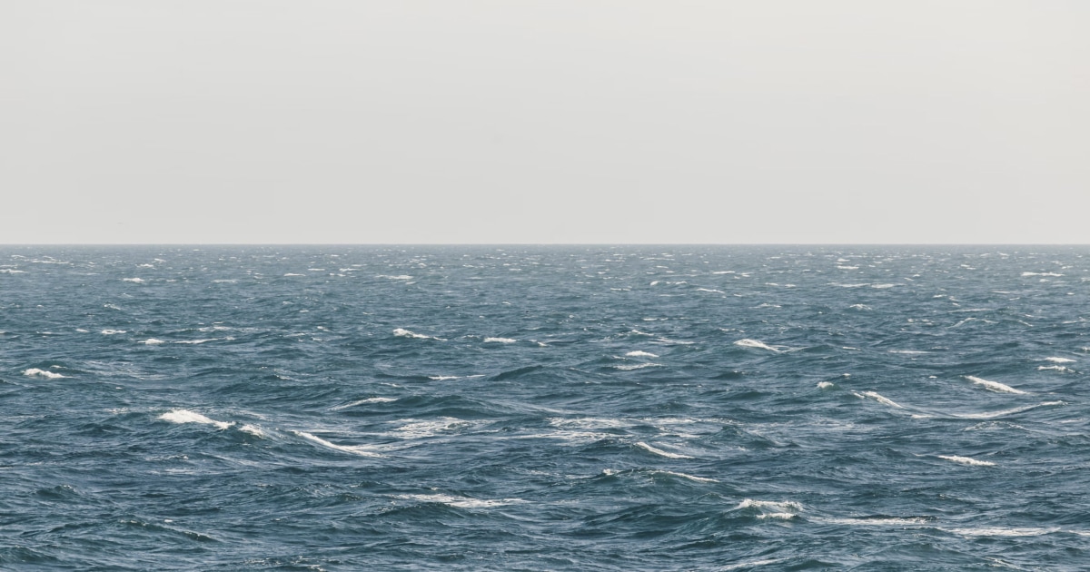
Beaufort Wind Force Scale
Understand the Beaufort scale from force 0 to 12, with wind speeds in knots and km/h, sea conditions, practical sailing advice, and guidance for interpreting marine forecasts.
All boaters
How to Plan a Sailing Route
Learn how to plan a sailing route using nautical charts, waypoints, distance calculations, weather forecasts, tides, and alternative destinations.
All boaters
How to Plan a Sailing Trip
Learn how to plan a sailing trip, from choosing your destination and checking the weather to preparing your boat, crew, route, and backup plans.
All boaters