 Skipper
Prepare
•All boatersHow to Read Wind Conditions for Sailing
Learn how to read wind forecasts for sailing, understand knots and gusts, assess wind direction and sea state, and decide when conditions are suitable for your boat and crew.
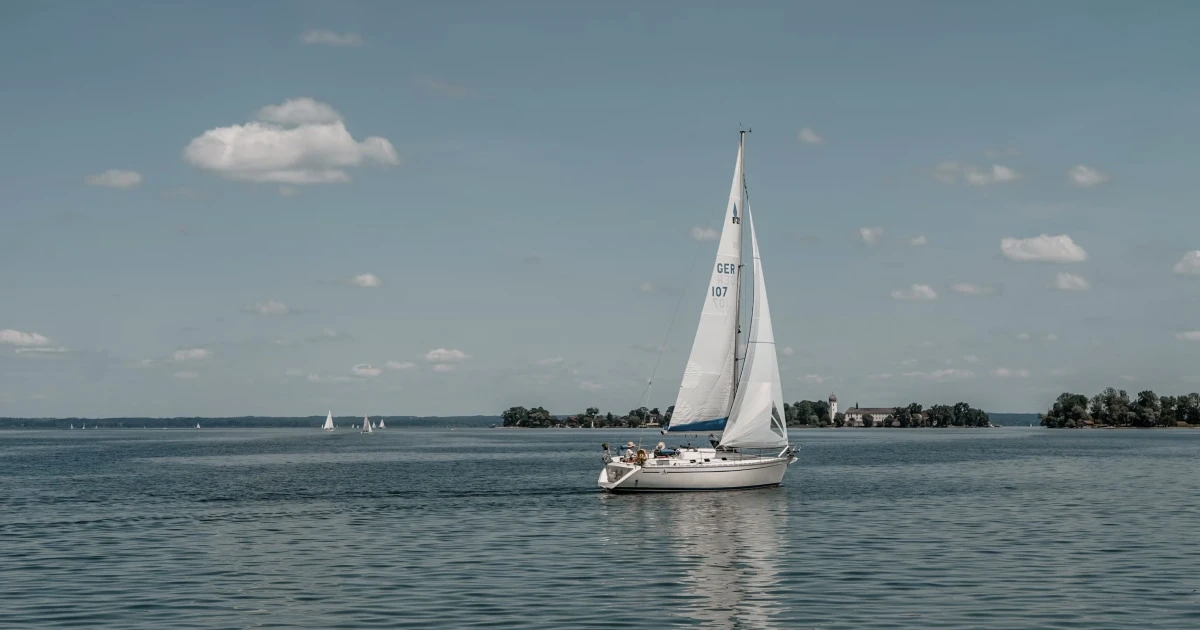
How to Read Wind Conditions for Sailing
Reading a wind forecast is one of the most important steps in preparing for a sailing trip. But knowing that the wind will be 15 kn (27.8 km/h / 17.3 mph) is only part of the picture. You also need to understand its direction, gusts, the expected sea state, and how conditions may evolve along your route.
The same forecast can mean very different things for a sheltered day sail, a lightweight dinghy, a cruising yacht, or an offshore passage. Your boat, crew, experience, and sailing area all influence what conditions are appropriate.
This guide explains how to interpret a marine wind forecast, what the main numbers mean, and how to use them when planning a trip.
1. Understand wind speed and knots
Wind speed is commonly expressed in knots (kn) in marine forecasts.
One knot equals one nautical mile (NM) per hour. It is approximately 1.852 km/h (1.15 mph).
| Knots | Metric (km/h) | Imperial (mph) | General description |
|---|---|---|---|
| 0–5 kn | 0–9 km/h | 0–6 mph | Very light wind |
| 6–10 kn | 11–19 km/h | 7–12 mph | Light to gentle breeze |
| 11–15 kn | 20–28 km/h | 13–17 mph | Moderate breeze |
| 16–20 kn | 30–37 km/h | 18–23 mph | Fresh breeze |
| 21–27 kn | 39–50 km/h | 24–31 mph | Strong breeze |
| 28–33 kn | 52–61 km/h | 32–38 mph | Near gale to gale-force conditions |
These descriptions are approximate and combine broad speed ranges for readability. For formal classification, consult the Beaufort Wind Force Scale.
Why wind speed matters
Wind speed influences several aspects of sailing:
- Boat speed: More wind can increase speed, depending on the boat, sail plan, wind angle, and sea state.
- Sail loads: Stronger wind generally increases the loads on sails, sheets, rigging, and other equipment.
- Boat handling: Manoeuvres can become more demanding as wind strength increases.
- Sea conditions: Sustained wind can build waves, especially over a long fetch.
- Comfort: Heeling, spray, motion, and the effort required from the crew can increase.
More wind does not automatically mean a better or faster sail. Beyond the conditions suited to your boat and crew, stronger wind can make the trip uncomfortable or unsafe.
Knots versus kilometres per hour and miles per hour
If a forecast gives wind speeds in kilometres per hour or miles per hour, convert them to knots before comparing them with a sailing reference that uses knots.
The conversions are:
- Knots = km/h ÷ 1.852
- Knots = mph ÷ 1.151
For example, 25 km/h (15.5 mph) is approximately 13.5 kn.
Conversely, to convert knots to kilometres per hour, multiply by 1.852; to convert to miles per hour, multiply by 1.151.
Always check the units shown by your weather app. A number without its unit can be misleading.
2. Read the wind direction
Wind direction normally describes where the wind is coming from.
A northerly wind comes from the north and blows toward the south. A westerly wind comes from the west and blows toward the east.
Direction is usually shown in degrees or compass points. For example:
- 000° or 360°: North
- 045°: Northeast
- 090°: East
- 135°: Southeast
- 180°: South
- 225°: Southwest
- 270°: West
- 315°: Northwest
A forecast might show 12 kn (22.2 km/h / 13.8 mph) from the southwest. This means the wind is coming from the southwest at the forecast speed.
How wind direction affects your route
The effect of the wind depends on the direction you want to sail.
A sailboat generally cannot sail directly into the wind. To make progress toward an upwind destination, it must sail at an angle to the wind and tack when needed.
The main points of sail include:
- Close-hauled: Sailing as close to the wind as the boat can effectively manage.
- Beam reach: Sailing with the wind coming from the side.
- Broad reach: Sailing with the wind coming from behind the beam.
- Running: Sailing with the wind coming from behind.
The precise angles depend on the boat and conditions. These are not fixed compass directions: they describe the boat’s direction relative to the wind.
Before departure, compare the forecast wind direction with your intended route. Consider whether you will need to tack, whether the return journey may be upwind, and whether a headland or coastline could change the local wind.
For a practical introduction to these sailing angles, see the Royal Yachting Association’s guide to points of sail.
3. Understand sustained wind versus gusts
A marine forecast may show both a wind speed and a gust speed.
The sustained or averaged wind represents the wind over a specified averaging period. A gust is a brief increase above that background wind.
For example, a forecast might show:
- Average wind: 12 kn (22.2 km/h / 13.8 mph)
- Gusts: 20 kn (37 km/h / 23 mph)
The wind may often be around 12 kn (22.2 km/h / 13.8 mph), but stronger bursts reaching approximately 20 kn (37 km/h / 23 mph) are expected.
The exact definitions and averaging periods depend on the forecast provider, so check its terminology where precision matters.
Why gusts matter to sailors
Gusts can temporarily increase the force on the sails and rigging. They can also cause sudden heeling, changes in boat speed, and more demanding manoeuvres.
When assessing gusts, consider:
- How much stronger the gusts are than the average wind.
- Whether they are occasional or frequent.
- Whether the boat is already carrying a large sail area.
- Whether the crew can respond confidently.
- Whether the route offers enough sea room.
- Whether the gusts are associated with squalls or thunderstorms.
A forecast with moderate average wind but frequent, much stronger gusts may require more caution than the average value suggests.
Don’t look only at the maximum gust number. Consider how often gusts are expected, how long the conditions may last, and whether they may intensify during the trip.
4. Use the Beaufort scale as a reference
The Beaufort scale classifies wind force from 0 to 12. It combines wind-speed ranges with descriptions of the wind’s observable effects.
It is widely used in marine weather reports and helps sailors communicate wind strength using a common reference.
| Beaufort force | Description | Knots (kn) | Metric (km/h) | Imperial (mph) |
|---|---|---|---|---|
| 0 | Calm | Less than 1 kn | Less than 2 km/h | Less than 1 mph |
| 1 | Light air | 1–3 kn | 2–5 km/h | 1–3 mph |
| 2 | Light breeze | 4–6 kn | 6–11 km/h | 4–7 mph |
| 3 | Gentle breeze | 7–10 kn | 12–19 km/h | 8–12 mph |
| 4 | Moderate breeze | 11–16 kn | 20–28 km/h | 13–18 mph |
| 5 | Fresh breeze | 17–21 kn | 29–38 km/h | 19–24 mph |
| 6 | Strong breeze | 22–27 kn | 39–49 km/h | 25–31 mph |
| 7 | Near gale | 28–33 kn | 50–61 km/h | 32–38 mph |
| 8 | Gale | 34–40 kn | 62–74 km/h | 39–46 mph |
| 9 | Strong gale | 41–47 kn | 75–88 km/h | 47–54 mph |
| 10 | Storm | 48–55 kn | 89–102 km/h | 55–63 mph |
| 11 | Violent storm | 56–63 kn | 103–117 km/h | 64–72 mph |
| 12 | Hurricane force | 64 kn and above | 118 km/h and above | 73 mph and above |
Values are approximate and rounded for practical reference. The official scale uses defined ranges, and forecast providers may display boundaries slightly differently depending on rounding.
What the Beaufort scale does not tell you
The Beaufort force is useful, but it is not a complete assessment of sailing conditions.
It does not tell you:
- Whether the wind is gusty.
- How high or steep the waves are.
- Whether the wind is expected to strengthen.
- Whether the current is opposing the wind.
- Whether your boat and crew can safely handle the conditions.
A Beaufort force should therefore be considered alongside the full marine forecast and the circumstances of the trip.
Read the dedicated Beaufort Wind Force Scale guide for more detail.
5. Check the sea state, not just the wind
Wind and waves are related, but they are not the same thing.
A marine forecast may distinguish between wind waves, swell, and total sea state. These elements affect the motion of the boat and the difficulty of the passage.
- Wind waves are generated by the local wind.
- Swell consists of waves that have travelled away from the area where they were generated.
- Total sea state describes the combined wave conditions, according to the forecast provider’s methodology.
Two locations with similar wind speeds can have very different sea conditions.
Wave development depends on factors including wind strength, duration, fetch, and the surrounding geography. Swell can also remain significant even when local winds have eased.
Wave height is only part of the picture
Check the forecast’s wave height, period, and direction where available.
Wave period is the time between successive waves passing a fixed point. The relationship between wave height, period, direction, and the boat’s heading affects how the boat moves through the sea.
Steep, closely spaced waves can make conditions uncomfortable and demanding. Longer-period swell can also create substantial motion, depending on its size and direction.
Be particularly cautious when wind and current oppose each other. In some locations, this combination can create steeper, more confused seas.
For a deeper explanation, read Sea State Explained.
6. Look at how the forecast changes over time
A forecast is not a single snapshot. Conditions may change substantially between departure and arrival.
Review the expected wind speed and direction across the entire period you plan to be underway. Pay attention to fronts, showers, thunderstorms, and other developments that may produce sudden changes.
Consider these questions:
- Is the wind expected to strengthen or ease?
- Will the direction shift during the trip?
- Are gusts expected to become more frequent or stronger?
- Will the sea state deteriorate after the wind increases?
- Is visibility likely to decrease?
- Could thunderstorms or squalls affect the route?
- Are conditions expected to change before you reach shelter?
For a day sail, compare the outward and return legs. A pleasant downwind sail in the morning can become a demanding upwind journey later in the day.
For a longer passage, consider the forecast at intermediate points and likely stopping places, not just the departure and destination.
Check when the forecast was issued
Always confirm the forecast’s issue time, validity period, and update time.
A forecast can be useful when it accurately describes the period you’re interested in, but an old forecast may no longer reflect the latest information. Look for updated marine forecasts and any warnings relevant to your area.
Weather models are not exact predictions of every local condition. Compare forecasts with observations and remain alert to changes.
7. Understand local wind effects
The wind forecast for a broad marine area may not describe every condition you’ll encounter near the coast.
Headlands, islands, valleys, bays, and differences in land and sea temperature can influence local wind.
Headlands and islands
Wind may accelerate around a headland or through a gap between land masses. On the sheltered side of an island, the wind may ease, change direction, or become more variable.
The effect depends on the local geography and the prevailing weather pattern.
Sea breezes
On some days, differences in temperature between land and sea create a sea breeze. Its development and strength depend on factors such as sunshine, cloud cover, background wind, and local geography.
A sea breeze can alter the direction and strength of the wind during a coastal sail. Do not assume it will develop simply because the forecast looks favourable for one.
Offshore and onshore wind
An offshore wind blows from land toward the sea. Depending on the coastline, it may carry a boat away from shelter and make returning more difficult.
An onshore wind blows from sea toward land. It can increase exposure to waves near the coast and may push a boat toward a lee shore.
Neither direction is automatically safe or unsafe. The coastline, available sea room, wind strength, wave conditions, and route all matter.
For coastal sailing, identify where you could go if the wind strengthens or shifts, and avoid relying on a return route that becomes difficult under the forecast conditions.
8. Check the forecast from reliable marine sources
Use a dedicated marine weather forecast rather than relying only on a generic weather app.
Useful sources include:
- Météo-France Marine: Official marine forecasts, including forecasts for French coastal areas and ports.
- National weather services: Use the official marine forecast service for the country or region where you’ll be sailing.
- Marine observations: Where available, review recent observations from coastal stations, buoys, and other relevant sources.
- Navigation and safety broadcasts: Check the appropriate official warnings and marine information channels for your area.
Different services may use different forecast models, time intervals, and presentation formats. If forecasts disagree, don’t simply choose the most favourable one. Understand what differs, check the timing and location, and take uncertainty into account.
For more information on marine forecasts, see Météo-France’s marine weather service and NOAA’s marine forecast guidance.
9. Decide whether the conditions suit your boat and crew
There is no universal wind speed that makes sailing safe for every boat.
The decision depends on several factors working together:
- Boat type and size: Different boats respond differently to wind and waves.
- Rig and sail plan: The available sails and reefing arrangements affect how the boat can be managed.
- Crew experience: The ability to handle manoeuvres, reduce sail, and respond to changing conditions matters.
- Crew condition: Fatigue, seasickness, cold, and inexperience can make a trip more demanding.
- Route: Exposed coastlines, narrow channels, and limited shelter affect your options.
- Sea state: Wave height, period, and direction can matter as much as wind speed.
- Forecast uncertainty: Conditions may develop differently from the forecast.
Before departure, decide what conditions would make you postpone, shorten, or cancel the trip. Consider how you will respond if the wind strengthens or shifts while underway.
Do not rely on a single number or an app’s colour-coded rating to make the decision for you.
If the forecast exceeds your experience or your boat’s capabilities, choose a more sheltered route, wait for better conditions, or do not depart.
10. Monitor the wind while sailing
The forecast is your starting point, but actual conditions may differ from what was predicted.
While underway, compare the forecast with what you observe. Pay attention to:
- Changes in wind direction.
- Increasing gusts or a sustained increase in wind speed.
- Changes in wave height or steepness.
- Darkening clouds, showers, or signs of squalls.
- Deteriorating visibility.
- Changes in current or local conditions near headlands and channels.
Reassess the route when conditions change. Reduce sail or alter course when appropriate to the boat and situation, and seek shelter before conditions become unmanageable.
Continue checking updated forecasts when practical and safe to do so. On a longer passage, arrange a way to receive relevant weather information throughout the journey.
Do not wait until the boat is difficult to control before reconsidering the plan.
11. Record the conditions to improve future planning
Keeping a record of the weather you actually encountered can help you compare forecasts with real sailing conditions.
Useful details include:
- Wind direction and estimated strength.
- Gusts or sudden changes.
- Sea state and swell direction.
- Departure and arrival times.
- Route and distance sailed.
- Changes to the original plan.
- Notes about local effects or challenging sections.
- Photos that help you remember the conditions.
Over time, these records can help you understand how your boat behaves in different conditions and how long particular passages tend to take.
Skipper, the iPhone digital sailing logbook, lets you record GPS tracks, distances, durations, and speeds, then add weather details, crew, locations, notes, and photos to your trips. You can revisit your sailing history, maps, and statistics after returning to shore.
Recording conditions is not a substitute for a current forecast, but it can help you learn from previous outings and document the context of each passage.
Wind Forecast Checklist for Sailors
Before departure, use this checklist to review the forecast systematically.
Wind
- Check the forecast wind speed and units.
- Understand the wind direction relative to your route.
- Review gust speeds and how frequently they are expected.
- Check whether wind speed or direction will change during the trip.
- Consider local effects near headlands, islands, and the coast.
Sea and visibility
- Check wave height, period, and direction where available.
- Consider swell as well as locally generated wind waves.
- Assess the risk of wind against current.
- Check visibility, showers, thunderstorms, and other significant weather.
Planning and decisions
- Check the forecast issue time and validity period.
- Consult relevant marine warnings.
- Compare the conditions with the boat’s capabilities and crew experience.
- Identify suitable shelter and alternative routes.
- Decide what changes would make you postpone, shorten, or abandon the trip.
- Continue monitoring conditions while underway.
For the wider planning process, see How to Plan a Sailing Trip and How to Plan a Sailing Route.
Frequently Asked Questions
What wind speed is good for sailing?
It depends on the boat, crew, sailing area, and sea state. Moderate winds may be suitable for many recreational sailing trips, but the same conditions can be demanding for an inexperienced crew or a boat that is not equipped for them.
Consider gusts, waves, wind direction, exposure, and the forecast trend rather than relying on wind speed alone.
Is 15 knots too much wind for sailing?
Fifteen knots (27.8 km/h / 17.3 mph) is not automatically too much or suitable for every sailing trip. Its effect depends on the boat, sail configuration, crew experience, wind direction, gusts, and sea state.
Assess the full forecast and decide whether the conditions are appropriate for your specific boat and crew.
What is the difference between knots and Beaufort?
Knots measure wind speed. The Beaufort scale classifies wind force into categories from 0 to 12, each associated with a wind-speed range and characteristic effects.
A forecast may use either or both. Understanding the relationship helps you interpret the expected wind strength, but neither measurement alone tells you whether a trip is safe.
Why are gusts important when sailing?
Gusts can temporarily increase the force on the sails and rigging, cause sudden heeling, and make manoeuvres more demanding. A forecast with moderate average wind can still require caution if strong or frequent gusts are expected.
Why can the wind feel different from the forecast?
Forecasts describe conditions over a particular area and time period. Local geography, sea breezes, headlands, islands, and changing weather can produce variations. Your own movement and the boat’s speed also affect the wind you experience on board.
Compare forecasts with actual observations and remain prepared to adapt.
Should I trust a sailing weather app?
A weather app can be a useful source, but understand where its data comes from, when it was updated, and what its forecast represents. For sailing, use appropriate marine forecasts and official warnings, and compare sources when conditions are uncertain.
An app should support your judgement, not replace it.
Read the Wind Before You Leave
Understanding wind speed, direction, gusts, and sea state helps you make more informed decisions before and during a sailing trip. The key is to assess the complete situation rather than focusing on one forecast number.
Check reliable marine forecasts, consider your boat and crew, identify alternatives, and keep monitoring conditions as they develop.
Then record what you actually encountered. With Skipper, you can keep your GPS tracks, trip details, weather notes, and photos together in a digital sailing logbook, helping you build a useful record of every passage.
Remember your days at sea
Skipper is a ship’s log app for sailboats and powerboats, available on iPhone and iPad. It records every trip with GPS and keeps your whole sailing history in one searchable logbook. Free for your first three trips.

Keep reading
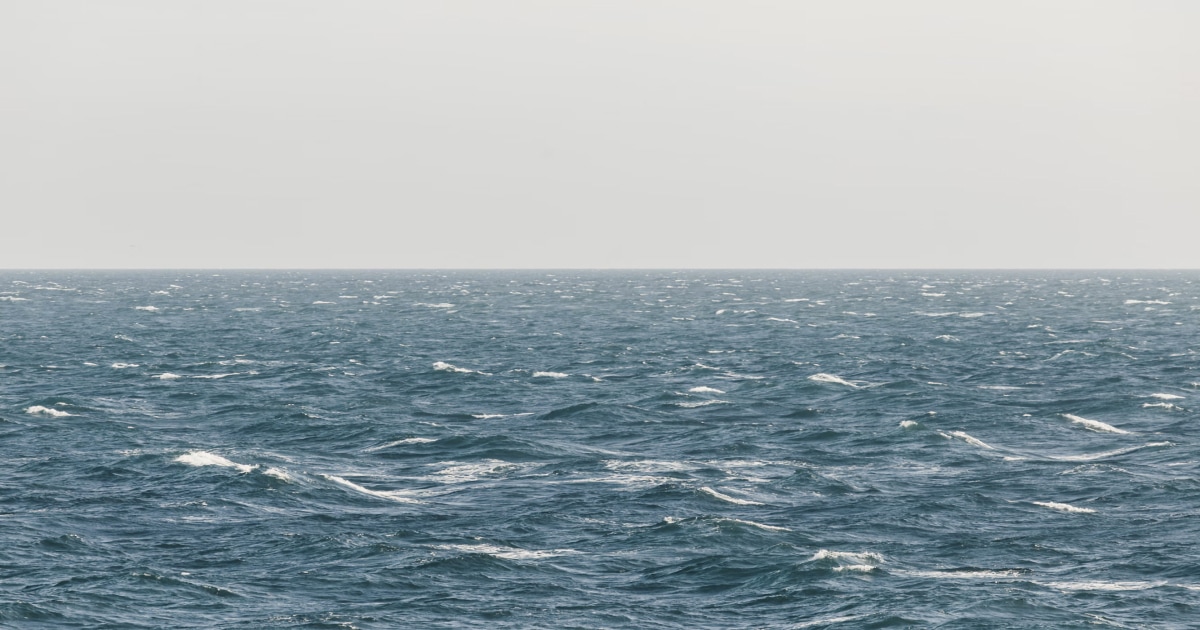
Beaufort Wind Force Scale
Understand the Beaufort scale from force 0 to 12, with wind speeds in knots and km/h, sea conditions, practical sailing advice, and guidance for interpreting marine forecasts.
All boaters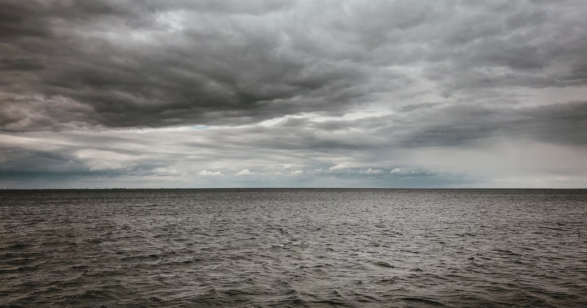
Clouds and Weather Signs for Sailors
Learn how to identify common cloud types, recognise signs of changing weather at sea, and combine sky observations with reliable marine forecasts.
All boaters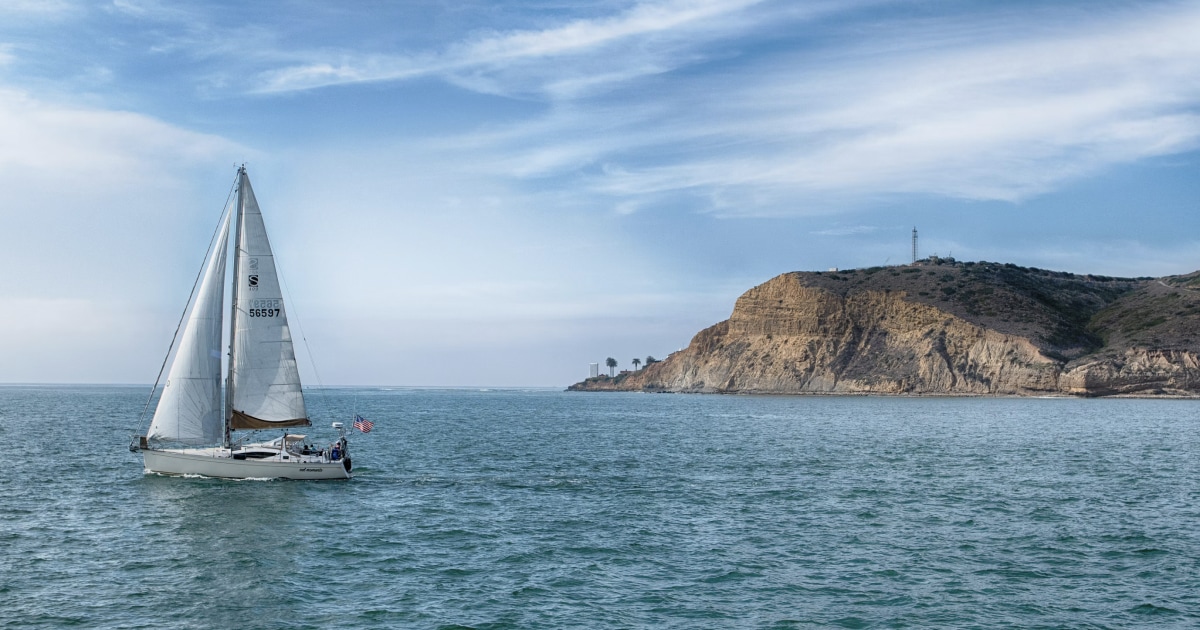
How to Plan a Sailing Route
Learn how to plan a sailing route using nautical charts, waypoints, distance calculations, weather forecasts, tides, and alternative destinations.
All boaters